The Scale of Devastation
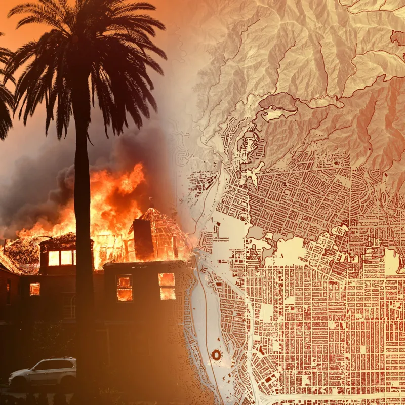
The recent wildfires in Los Angeles have left an indelible mark on the city, with thousands of acres burned, homes destroyed, and communities displaced. Maps and satellite images are playing a crucial role in uncovering the true scale of this catastrophe, offering a detailed view of the damage caused by the flames.
Mapping the Damage
High-resolution maps created from satellite imagery and aerial surveys reveal the vast areas scorched by the fires. These visual tools not only show the boundaries of the affected regions but also highlight specific areas where destruction is most severe. From entire neighborhoods reduced to ash to critical infrastructure impacted by the blaze, the maps provide a clear and sobering view of the disaster.
Interactive tools, such as real-time fire maps, allow residents and emergency responders to monitor the spread of the wildfires. These resources are vital for coordinating evacuation efforts and ensuring public safety.
The Power of Imagery
Images captured from both the ground and the air bring a human perspective to the destruction. Photographs of burnt-out homes, charred landscapes, and scorched wildlife paint a vivid picture of the devastation. Drone footage, in particular, provides sweeping views of the affected areas, capturing the scale of the disaster in ways that words alone cannot.
Satellite images taken before and after the wildfires starkly contrast the lush landscapes with the barren, blackened aftermath. These visual comparisons underscore the environmental toll of the fires and the long road to recovery for the region.
The Human Impact
Beyond the visual data, the wildfire’s toll on people’s lives cannot be overlooked. Entire communities have been uprooted, with families losing not only their homes but also cherished memories and a sense of security. Emergency shelters are overflowing with evacuees, and recovery efforts are expected to take years.
While the maps and images convey the scale of destruction, they also highlight areas where rebuilding efforts will need to focus. Roads, power lines, and other critical infrastructure must be restored, and environmental rehabilitation will be essential to prevent further disasters like landslides or flooding in the scorched terrain.
Tools for Recovery
The detailed information provided by maps and images serves as a foundation for recovery efforts. Government agencies, non-profits, and volunteers rely on these tools to allocate resources effectively. From identifying areas that need immediate attention to planning long-term restoration projects, the data is invaluable in ensuring a coordinated response.
A Warning for the Future
The devastation seen in Los Angeles is a grim reminder of the increasing frequency and intensity of wildfires, driven by climate change and human activity. As communities rebuild, there is an urgent need to implement strategies that mitigate future risks. Improved land management, stricter building codes, and investment in fire prevention measures are essential to protect lives and property.


